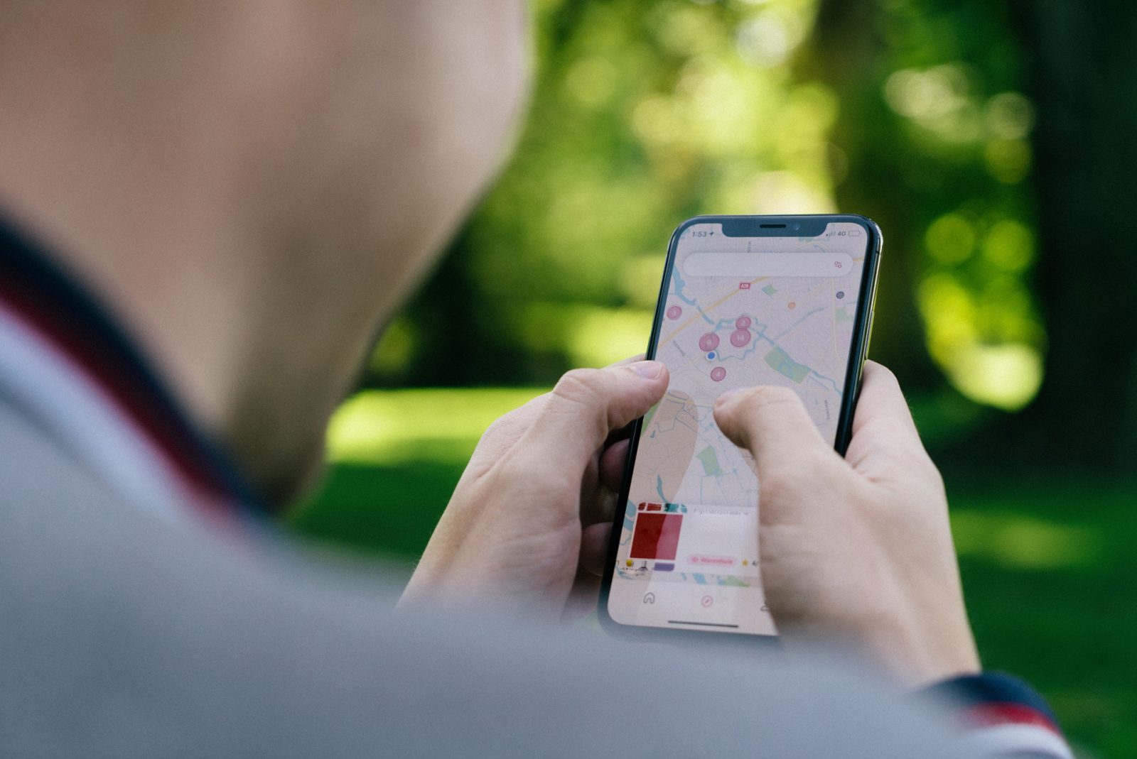
The Town of Kajaani produces and maintains various maps, material containing geographical information and map services for its own use and for residents who need them.
The Geographical Information Unit maintains, for example, maps and attributed data concerning information about land, buildings, real estate, the street network and town planning in its geographical information system.
The geographical information service is a core service used, for example, by the Environmental and Land Use Unit and it supports many of the Town’s processes and development work.
Maps
The Geographical Information Unit produces various map and file printouts, as well as printed guide and address maps. Its electronic files are available to business owners and residents, for example, for a building project, brochure or website.
City Of Kajaani Map Service